Google expands limited access to Earth AI geospatial agents
Selected early users can test three experimental routes into Google's Earth AI stack: deeper Ask Google Earth analysis, a headless agent service and planetary prediction tools.
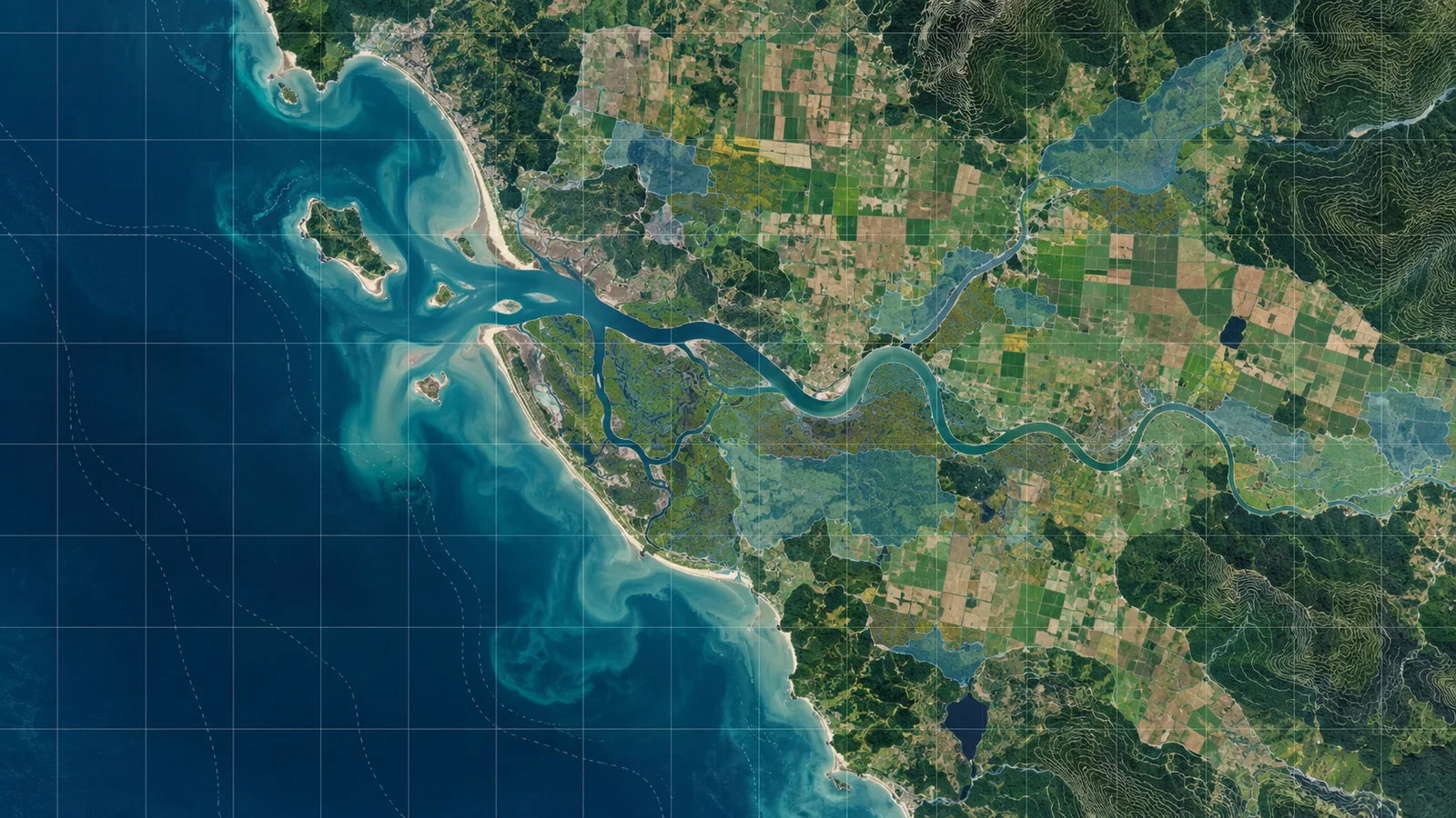
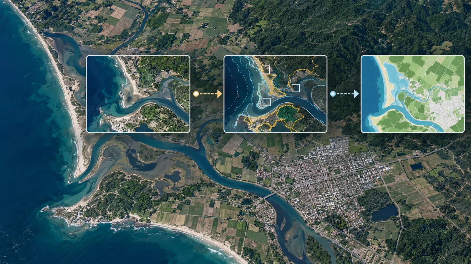
Google Research expanded limited experimental access to geospatial agents and prediction tools that combine Gemini with specialized Earth data, models and spatial-analysis software.
Organizations can apply for three limited early-access routes: deeper analysis inside Ask Google Earth; a headless Geospatial Reasoning Agent-to-Agent service for developers building custom workflows; and Planetary Prediction Engine capabilities through an interactive interface or the agent API. Google is collecting interest through an application form and its Early Access Pool, rather than making the systems generally available. The announcement builds on Google’s earlier Earth AI public-health research.
The approach differs from a general-purpose chatbot in what happens after a user asks a question. Google’s system creates a multi-stage plan, loads domain-specific skills when needed and carries out operations in a separate spatial workspace so large map layers do not have to fit inside the model’s context. It can call weather, flood, population and satellite-imagery models alongside Google Maps Platform data, Earth Engine, Data Commons and Dataset Search. The API can also take an organization’s CSV files, GeoJSON boundaries and cloud tables.
That setup is designed for tasks that require joining multiple datasets and running spatial operations, rather than only producing a text response from a model’s learned knowledge. A Google-authored technical report compares a standalone language model, a model with basic tools, a model with the agent’s geospatial skills and tools, and the full agent with upfront planning and execution guidance. The authors report that specialized tools produced the largest improvement on open-ended workflows. With Gemini 3.8 Flash, upfront planning and execution guidance raised the GeoExpertQueries workflow score from 52.2 to 62.7, but did not produce consistent gains on the narrower GeoKTools or CBGB tests.
GeoExpertQueries uses an automated grader to compare an agent’s trajectory with expert-authored workflows; it does not verify a single correct final answer. Google describes the outputs as first drafts for experts to review. The report is a Google-authored preprint, covers Gemini models only and had not been independently reproduced in the material reviewed for this article.
The Planetary Prediction Engine paper describes a system that retrieves and combines environmental and population data, adds embeddings from Google’s population and satellite foundation models, tests task-specific model families and applies checks intended to reduce overfitting.
Google says early partners used the experimental systems for disease response, disaster preparation and site screening. The company says a WHO AFRO team located 48 exposed settlements and more than 45,500 at-risk people during an Ebola response in minutes, a process it said previously took weeks. No independent partner publication confirming those operational results was identified in the underlying research review, so the figures remain Google’s account of the trial.
The currently documented Ask Google Earth service is labeled experimental and pre-general availability. Google says it is web-only and English-only in seven listed regions, cannot export queried data, limits each query to 500 features and can return inaccurate responses. The reviewed materials do not disclose pricing, usage quotas, service commitments, broad eligibility rules or a date for general availability of the newly described access paths.
More news

Google ships Gemini 3.7 Flash as its coding workhorse while flagship stays delayed

Apple study finds tool-discovery gains shift with task complexity

IBM releases Granite Switch 4.1 for chat, decisions and speech on one endpoint