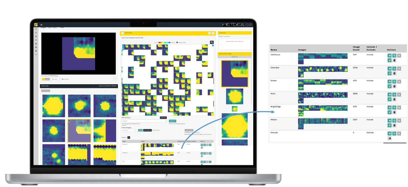
Object recognition and detection tool calibration often require training from high-quality labeled datasets, an expensive and time-consuming process. In contrast, Synthetaic's rapid automatic image categorization (RAIC) enables users to look for objects in raw image data in minutes without using pre-trained AI models. Building detection and classification models, geospatial imagery analysis, and content moderation are just a sampling of the applications that Synthetaic is looking to accelerate with its RAIC platform. RAIC provides streamlined and cost-effective solutions for raw image data object search problems based on various formats, including satellite imagery, full-motion video, drone photography, etc.
Synthetaic has already showcased its capabilities after it was used to trace the trajectory of a suspected Chinese spy balloon using satellite imagery. Receiving only a hand-drawn sketch as input, RAIC combed through 18 trillion pixels and returned a match in under two minutes. This finding formed the basis of an investigation from the New York Times' Visual Investigations team. CNN has also profited from RAIC by using it to analyze geospatial imagery in an active warzone; the obtained information ended up in a CNN.com global top story. Synthetaic is also an Esri partner, meaning users can leverage RAIC to find objects in geospatial imagery and send them to ArcGIS as data layers for further analysis.
The success of Synthetaic's Series B round, co-led by Lupa Systems and TitletownTech with participation from IBM Ventures and Booz Allen Hamilton, represents a step forward for the company. According to the company's press release, the raised $15 million will be invested into capturing new market opportunities and expanding Synthetaic's client base.


Comments